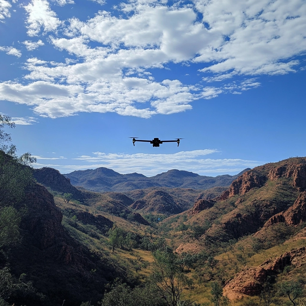
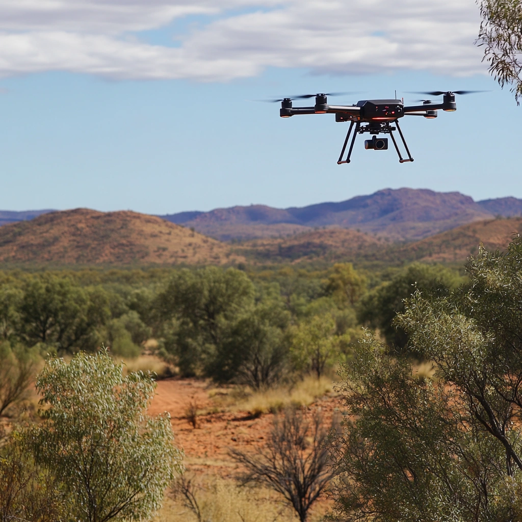
Providing drone based surveying and mapping in the Mt Isa region.
Services we provide
Precision Mapping
High-resolution terrain data collected with advanced drone-based sensors.
Efficient Coverage
Surveying of rural and remote areas, including rugged outback terrain.
Versatile Applications
Ideal for environmental monitoring, land development, and infrastructure planning.
Data-Driven Insights
Transform raw terrain into actionable geospatial intelligence.
Local Expertise
Proudly servicing the Mt Isa region with cutting-edge drone technology.